
Drone Roof Inspection in Athens, GA
Home / Commercial Roofing Services / Drone Roof Inspection
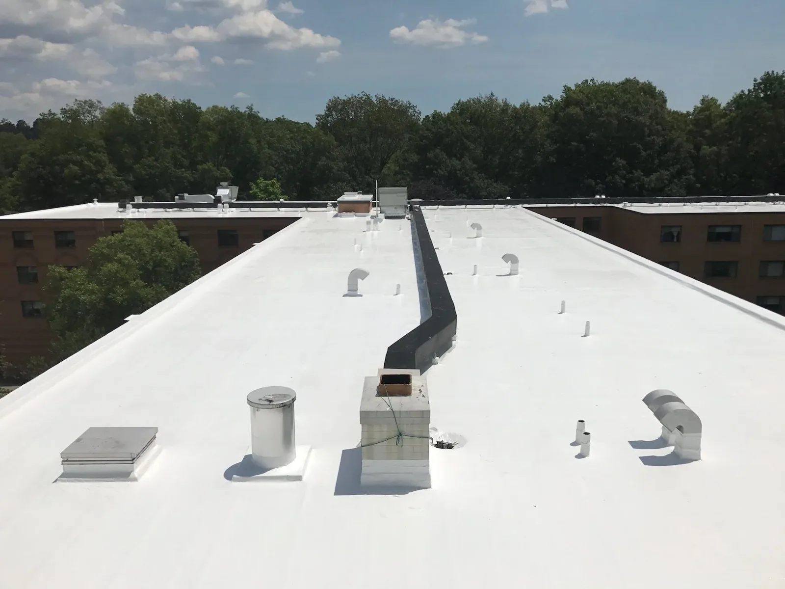
Drone Roof Inspection
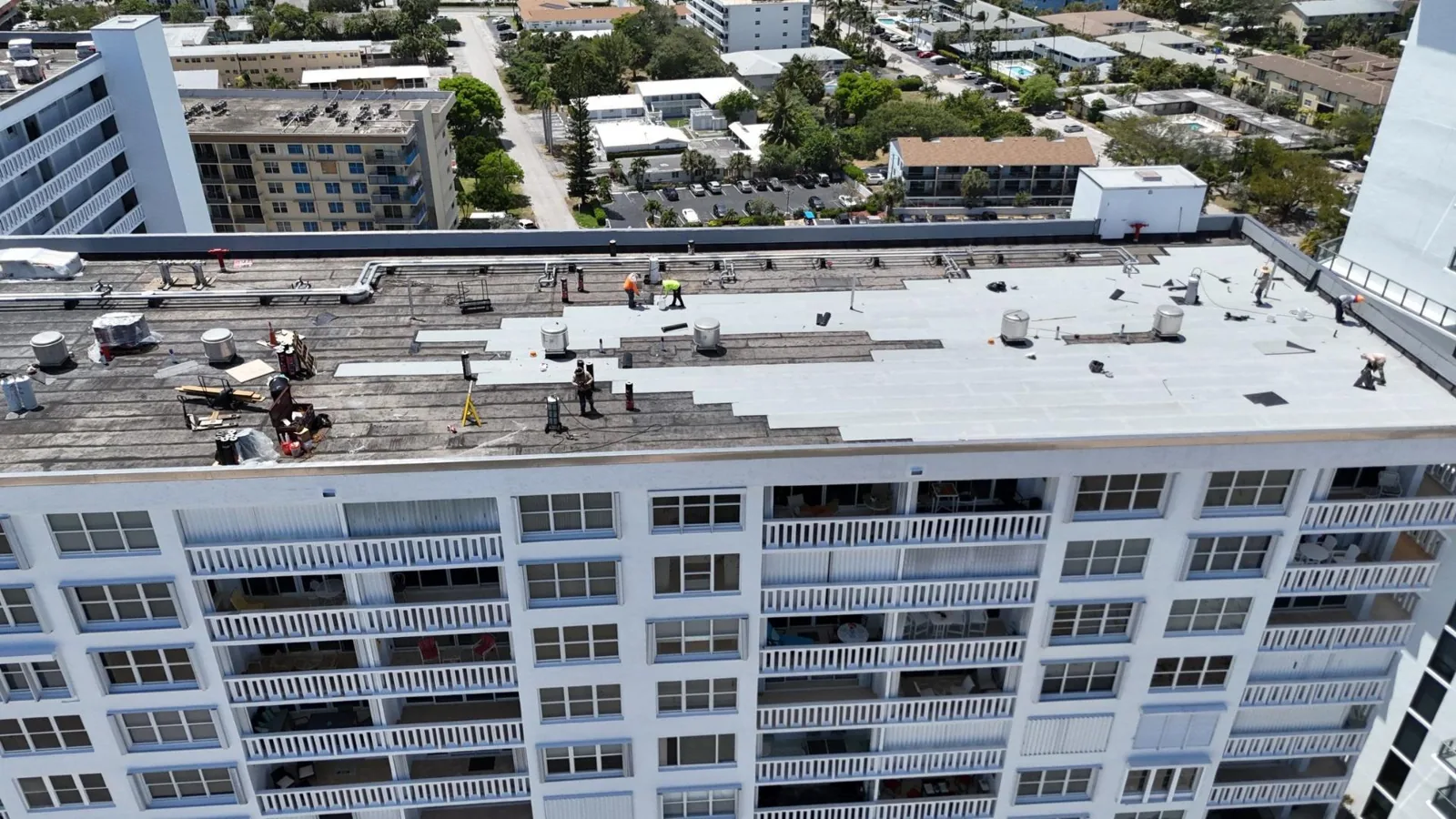
Camera position and building access determine whether aerial images answer a roof question or merely produce attractive views. A drone survey can document broad areas, perimeter transitions and equipment clusters that are difficult to see from a hatch, especially across a multi-building property. The University of Georgia’s Athens campus inventory lists 491 buildings. East Athens commercial area is home to Athens-Ben Epps Airport, about three miles from downtown, where two paved runways make airspace review and site coordination part of flight planning. We use drone imaging to locate visible conditions and organize follow-up, then pair it with a hands-on roof inspection where material condition or a repair detail needs closer confirmation.
Plan the flight window
Before dispatch, we confirm the property address, the roof areas requested, site contact, safe takeoff location and restrictions on access or photography. We assess nearby operations, people below, overhead obstacles and current weather. A flight may need to be rescheduled for wind, rain, poor visibility or other conditions that interfere with safe control and useful imagery. At Ben Epps Airport or near active aviation routes, airspace requirements can limit or prevent drone operation; we check the location and required authorization before promising a flight.
The property contact identifies occupied entrances, loading activity, rooftop equipment and any area that cannot be photographed. We agree where the pilot and observer can stand, how the work zone will be kept clear and who can approve a change. If the inspection is part of a roof replacement or leak investigation, we set the image priorities in advance: field membrane, drainage paths, penetrations, parapets, edge metal or a specific reported area. That keeps the flight connected to a decision instead of collecting unrelated images.
Capture useful roof context
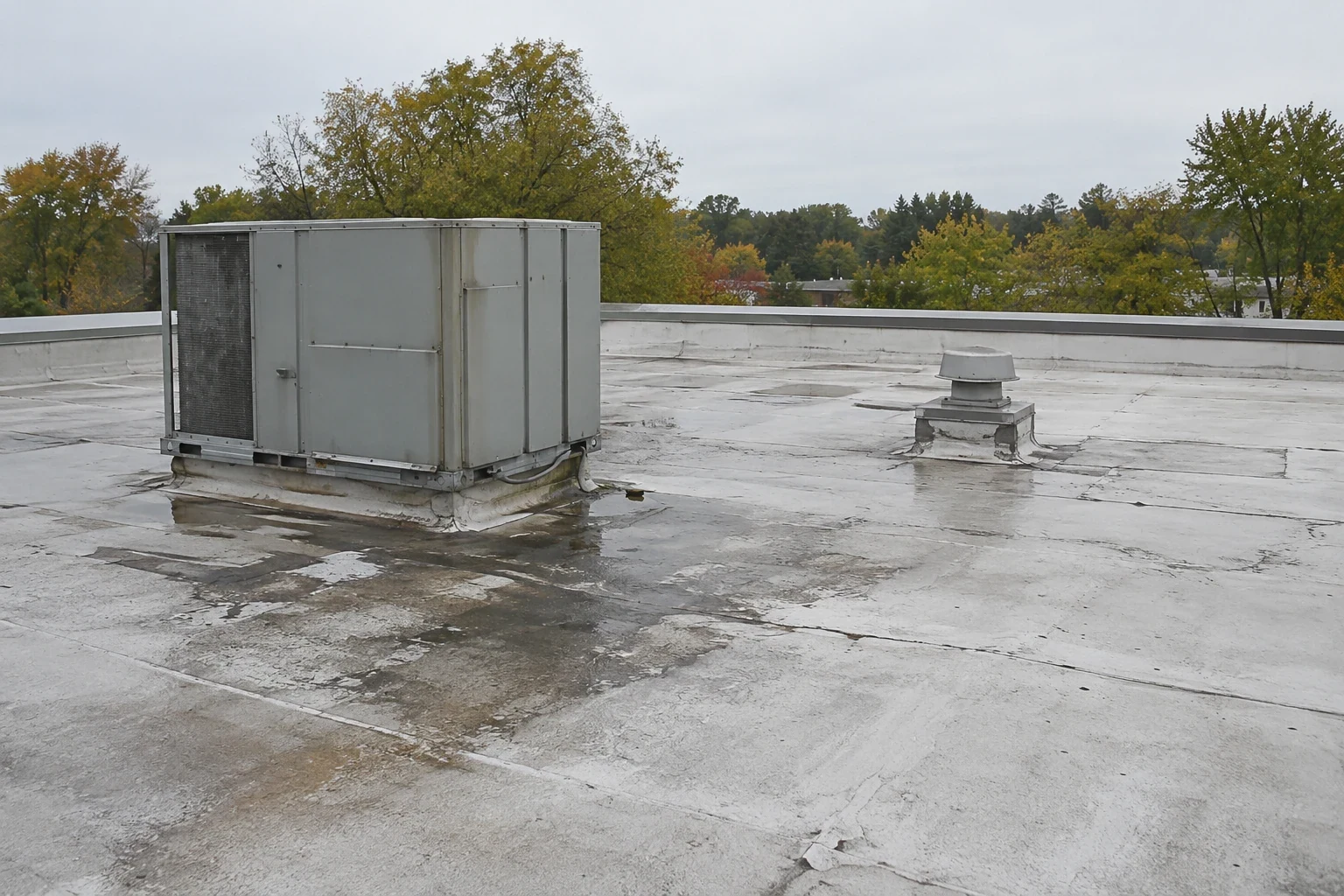
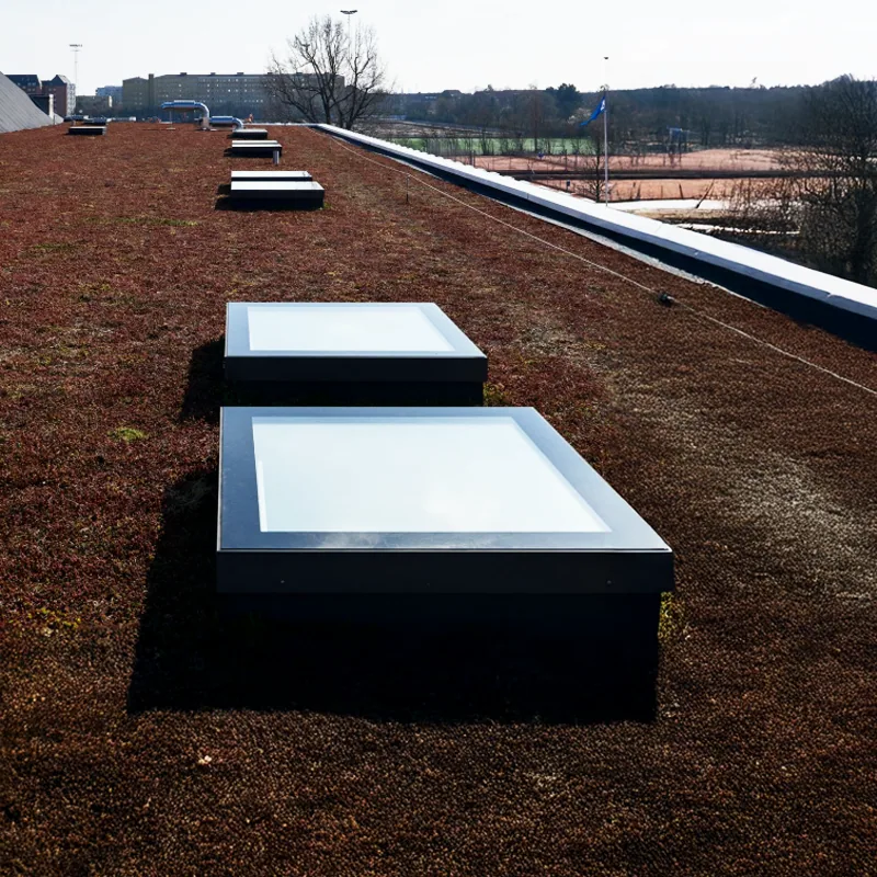
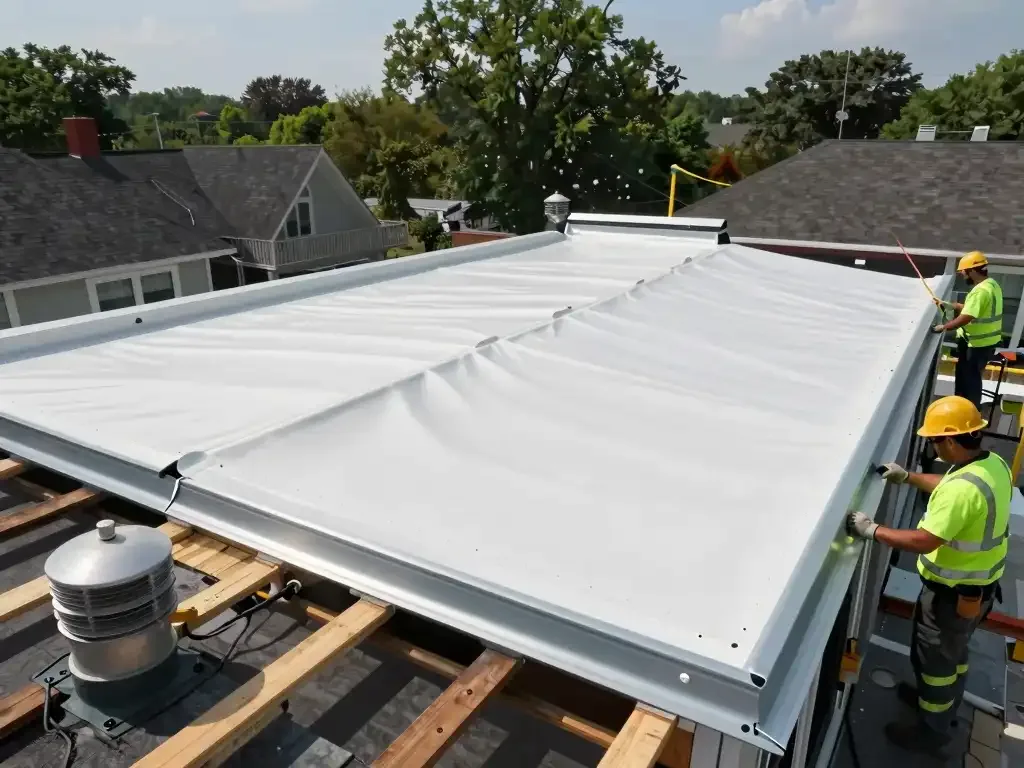
During the flight, images are taken at angles and distances that show how details relate to the larger roof section. A close view of a curb is more useful when the record also places it beside a seam, drain or parapet. We capture broad roof geometry first, then focus on areas where staining, debris, standing water, displaced components or visible openings may warrant a closer look. If a roof surface is blocked by equipment or shadow, we identify the limitation rather than treating the hidden area as inspected.
For a property with separate buildings, we label image sets by structure and roof zone. That is especially useful at a campus, shopping center or industrial site with similar-looking sections. The manager can match each image to an address or roof plan, then route a finding to the person responsible for maintenance. When visible conditions suggest a seam or flashing issue, a repair inspection determines whether the material is loose, split or simply discolored.
Pair images with field verification
Drone imagery shows what the camera can see. It cannot confirm whether insulation is wet, whether a membrane is bonded beneath the surface, how a seam responds to probing or what material is hidden under a repair patch. Reflections, roof color, shadows, ponding and image angle can also affect interpretation. We label observations as visible conditions and recommend a hands-on check when the decision depends on material integrity, moisture extent or an exposed assembly layer.
Where moisture is suspected, infrared imaging or test cuts may be appropriate after the aerial review. An infrared moisture survey helps identify areas for confirmation, while the drone record can show their position relative to drains and equipment. The two methods answer different questions. A single image should not be used to price hidden deck work or to claim a specific roof life without supporting inspection evidence.
Coordinate Athens sites and airspace
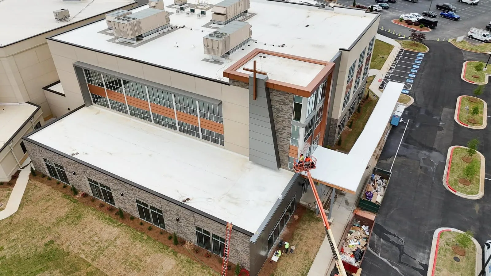
In Athens, a survey above a UGA building may involve a campus contact and pedestrian routes; a flight near the airport needs airspace review and coordination with airport procedures. At Athena Industrial Park, the site manager may need to account for vehicle movement, roof access and active equipment. Those places have different operating conditions, and the contact confirms current restrictions for the exact property before a flight is planned.
Warm-season thunderstorms, damaging winds, hail and spring tornado risk affect both roof condition and the flight window. Weather and airspace checks determine whether and when the flight proceeds; a storm report can guide inspection timing, while the property inspection documents roof condition. After an event, images can help document accessible visible areas once conditions are safe, with a return inspection for details the camera cannot resolve. A hail assessment or wind-damage review should combine imagery with roof-level findings when the repair decision depends on material performance.
Organize images for action
The deliverable groups images by building and roof area and identifies the visible condition, location and recommended next check. The property manager receives a concise summary and a path to price any confirmed repair. If imagery shows a clogged drain, loose perimeter component or debris accumulation, we record what can be seen and arrange field verification where needed. Each condition rating is tied to a defined inspection method, with image sets labeled by building and roof zone.
For multiple buildings, the photo index can help prioritize another visit by access window or operational importance. A UGA facility and a commercial building near Downtown Athens may require different routes and escorts even when the same imaging method is used. We coordinate the next roof walk, condition report or repair visit with the relevant property contact so images lead to a decision and the recorded site constraints remain clear.
Set the survey boundary
Send the site address, roof plan if available, areas of concern, access instructions, operating limits and a contact authorized to approve the flight. Mention nearby airfield activity, restricted photography zones and any roof sections that require close inspection. We will confirm whether drone imagery is appropriate, what portion of the roof can be captured and whether a hands-on inspection should be scheduled at the same time.
Commercial Roofing Athens can use aerial images to document visible areas and plan follow-up work. Schedule the survey around the building’s access window and current weather. The record will identify the roof sections reviewed, observations visible from the camera and any details requiring field confirmation.
Frequently Asked Questions
Can drone images confirm a leak entry point?
They may show an opening, debris or drainage condition near a reported area, but images alone often cannot establish the water path. We compare the aerial view with the interior report and arrange a hands-on inspection of likely seams, curbs and penetrations. The report states what the camera showed and what still needs confirmation.
Can you fly near Athens-Ben Epps Airport?
Only when the location, airspace rules and required authorizations allow it. We check the address and flight requirements before scheduling, and an airport-controlled area may restrict or prevent a drone survey. The property contact should identify nearby aviation operations when requesting the service.
Will drone imaging replace a roof walk?
No, not when the decision depends on material adhesion, seam integrity, concealed moisture or a repair detail. Aerial images document visible conditions across broad areas; a roofer verifies material and connection details at the roof. We combine methods when each adds useful evidence.
What if wind or rain interrupts the scheduled flight?
We reschedule when conditions prevent safe control or clear images. Athens thunderstorms and regional damaging winds make weather review part of dispatch planning. The property contact receives an updated window, and a separate roof access visit can proceed only when its own safety conditions are met.
Can you inspect several buildings in one visit?
Often, if the site layout, flight permissions, weather and operating rules allow enough time. We label each image set by building and roof zone so findings do not blur together. The manager should identify priority structures and any access limits before the survey begins.